Cart 0
Description
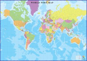
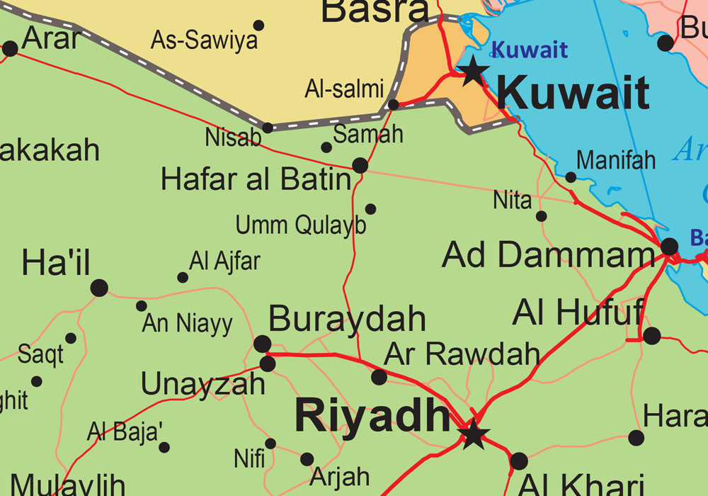
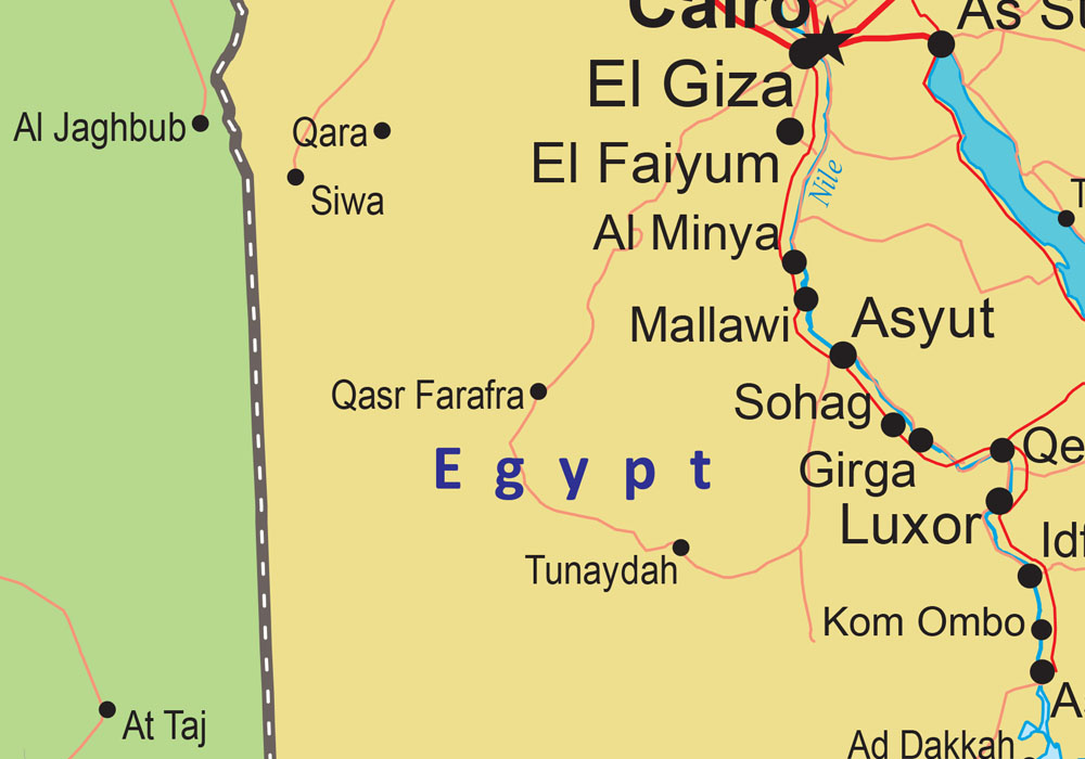
This map illustration is creatively designed to showcase all the ports in the world. Currently the map is available in English but can be customised in other foreign languages as per request. It serves as an excellent wall map to dress your office or home walls. Can add more information/ illustration on the map as per the requirement.

