Description
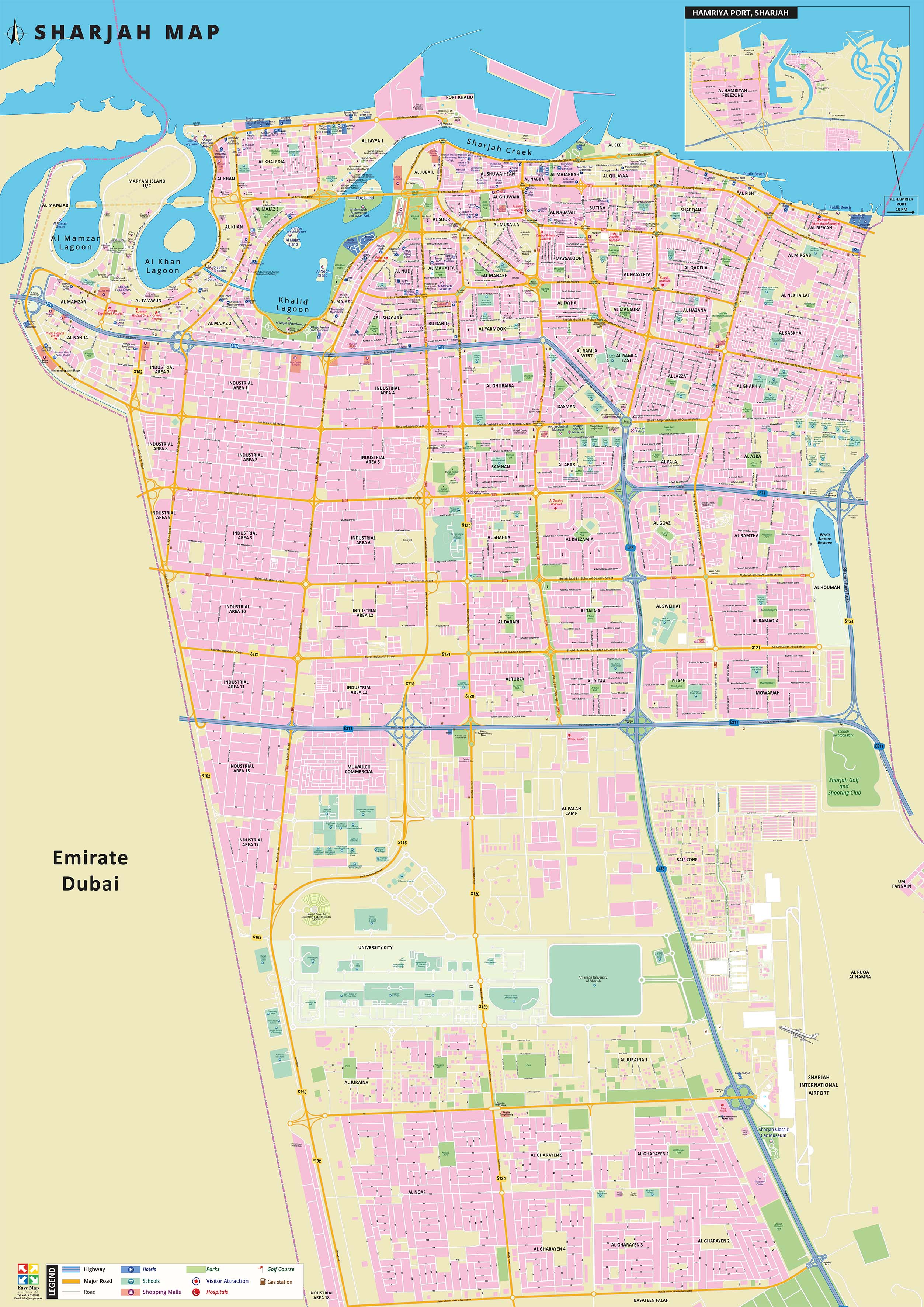
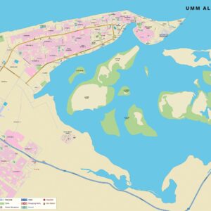
This vertical 2D map shows areas, highways, major roads, parks, shopping malls, museums and heritage sites, golf courses, tourist attractions, schools, hospitals, hotels and resorts and much more within the Emirate of Sharjah. Hamriya Port is shown as an inset on the map. Currently, the map is available in English but can be customized in other foreign languages as per request. It serves as an excellent wall map to dress your office or home walls.
Map spreads across:
From left to right: Al Mamzar, Sharjah Industrial area to Al Riffa’ah, Al Nekhailat, Al Ghaphia, Al Houmah, Sharjah Golf and Shooting Club, Sharjah International Airport
From top to bottom: Arabian Gulf, Port Khalid to Industrial area 18, Al Gharayen, Basateen Falah
