Description
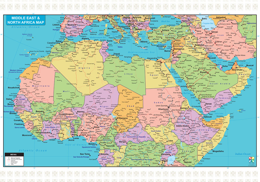
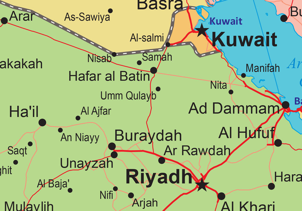
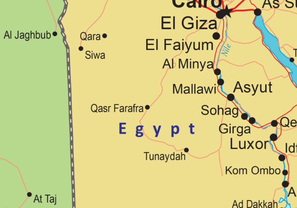
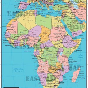
A detailed map showing the Middle East and North Africa Region with country borders, country names, capitals, major rivers, lakes, roads, and cities. Countries featured on the map are Morocco, Algeria, Tunis, Libya, Egypt, Sudan, Djibouti, Lebanon, Jordon, Syria, Iraq, Iran, Kuwait, Qatar, Saudi Arabia, Yemen Oman and the United Arab Emirates. Currently, the map is available in English but can be customized in other foreign languages as per request. It serves as an excellent wall map to dress your office or home walls.
