Description
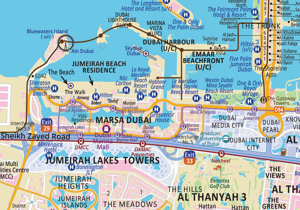
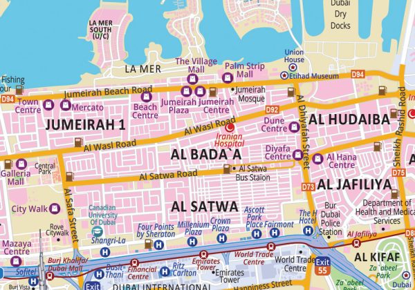
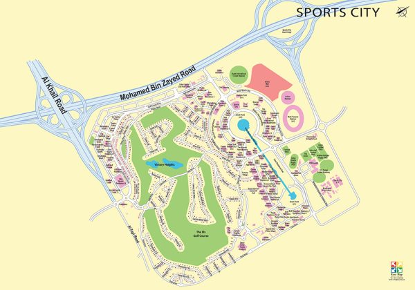
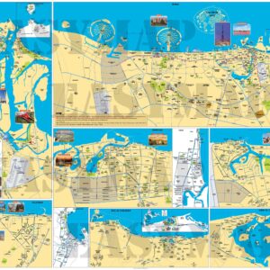
This futuristic 2D map shows areas, highways, major roads, free zone areas, communities, islands, beaches, parks, shopping malls, golf course, attractions, schools, hospitals, hotels and resorts, metro and tram routes and stations, within the Emirate of Dubai. Most updated map of Dubai featuring all the major landmarks and masterplans including upcoming projects. The map is available in English and serves as an excellent wall map to dress your office or home walls.
Map spreads across:
From left to right: Hessyan 2, Jebel Ali Hills, Dubai Industrial City, Al Layan to right Al Mamzar, Al Nahda, Al Qusais, Oud Al Muteena
From top to bottom: Arabian Gulf, The World, Nakhlat Palm Jumeirah, Palm Jebel Ali to bottom Dubailand, Al Lesailiy, Al Maha, Akoya Oxygen
Additional information
| Size | W 118.9cm x H 84.1cm, W 198.3cm x H 140cm |
|---|---|
| Finish | Matt, Glossy |
| Type | Rollup, 5mm Foam Board |

