Cart 0
Description
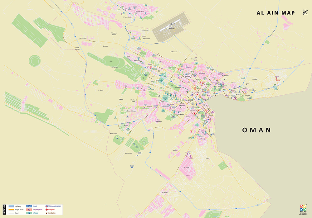
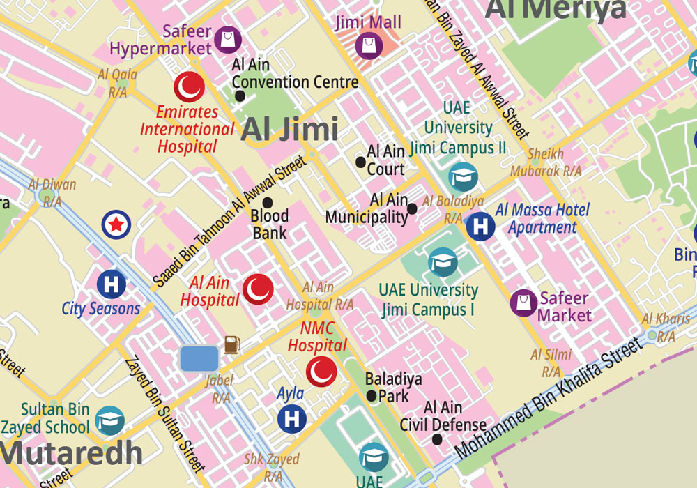
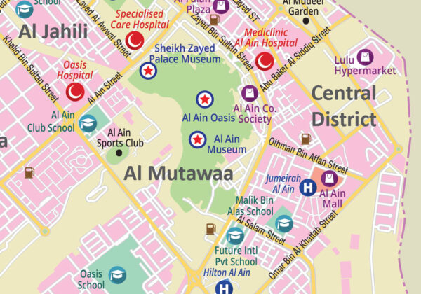
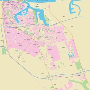
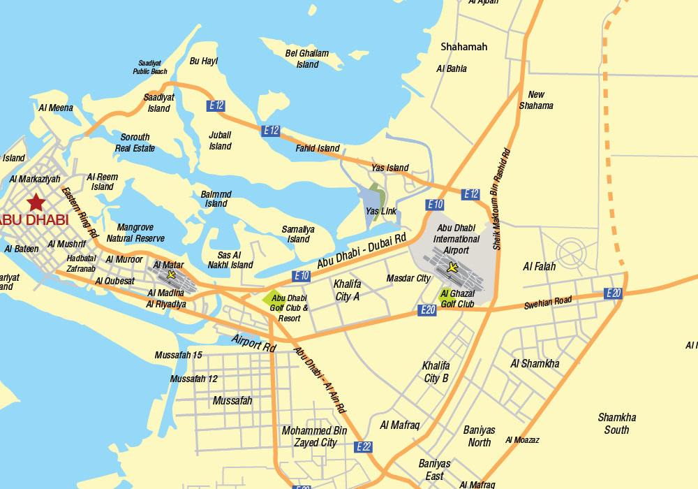
This 2D map shows areas, highways, major roads, parks, shopping malls, attractions, schools, hospitals, hotels etc., within Al Ain. Currently, the map is available in English but can be customized in other foreign languages as per request. It serves as an excellent wall map to dress your office or home walls.
Map spreads across:
From left to right: Saith Al Gharbal, Al Qisais, Ain Al Fayda to Al Foaa, Al Flaj
From top to bottom: Al Yahar to Al Dhahir
